Congestion-busting drones unveiled in West Midlands | News – Free …

They are hoping to reduce traffic on roads in the region
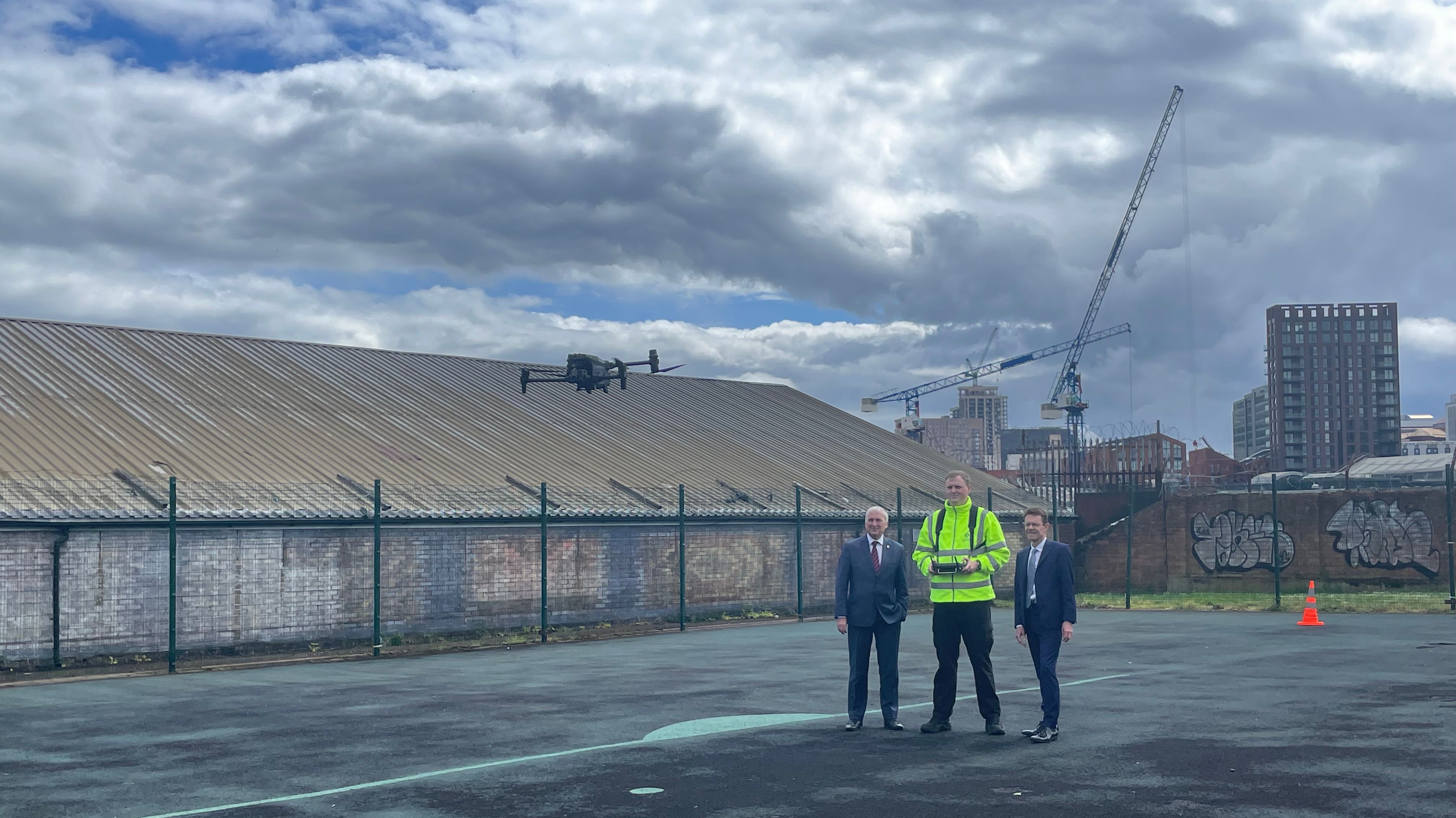
Author: Ella StirlingPublished 1 hour agoRegional transport managers will have an eye in the sky to help them beat traffic jams thanks to a new Transport for West Midlands (TfWM) drone team.
The drones will fly over congestion hotspots and traffic queues at accident scenes or road closures and send live footage to transport managers enabling them to better plan diversions and keep the public informed.
The Regional Transport Coordination Centre (RTCC) and Safer Travel Command Centre, based in Birmingham, receives images from more than 2,500 fixed CCTV cameras covering the West Midlands major road, rail and tram networks, as well as some town and city centres. But there are gaps in the coverage, meaning they are unable to view traffic building up around some incidents.
Now, thanks to the new drone team, live images can be relayed back to the command centre filling those gaps in coverage, at a fraction of the cost of installing and maintaining static CCTV cameras.
It not only means that traffic can be better managed around incidents, but more accurate and timely advice can be given to the travelling public – including via the @WMroads social media channels.
The team is funded and managed by TfWM, which is part of the West Midlands Combined Authority (WMCA). TfWM works with police through the Safer Travel Partnership and the drones could be made available to emergency services during incidents to improve public safety.
Andy Street, Mayor of the West Midlands and WMCA Chair, said: “Since it was launched three years ago, our Regional Transport Coordination Centre has been at the forefront of innovation in transport management - playing a major role in the success of last summer’s spectacular Commonwealth Games.
“Now we’re building on the existing provision of hundreds of CCTV cameras covering our road, rail and tram networks by bringing drone technology into our repertoire to further improve coverage.
“Having a wider aerial view of various scenarios that can be beamed back to the RTCC will enable our traffic managers to make better and faster decisions about how best to deal with incidents – enhancing the travel experience for local people right across our region.”
The drone team has already deployed to key locations across the region including Birmingham, Coventry, Walsall and Sandwell to identify issues on the road network.
A drone has also been deployed during Aston Villa matches to spot traffic issues and allow up-to-date information to be sent out via social media channels. Those drone images are shared with Birmingham City Council and West Midlands Police.
The live panoramic overview provided by the drones is already making a difference in how congestion at junctions is managed and minimised.
And the team is also set to trial an automated drone which would be launched from the roof of Walsall Bus Station in collaboration with drone safety specialists Skybound Rescuer. It would be the first urban trial of a remote operated drone system in the UK.
Kerry Blakeman, accountable drone manager for TfWM, said: “We want the public to know what we’re doing and the reason why. So we record all our flights on www.dronesafetymap.com[1] which allows the public to see why we’re in their neighbourhood and helps improve safety as other drone pilots can also use this map.
“We are constantly looking to develop the capacity and improve the quality of information available to our transport coordination centre which is why we have launched this trial at Walsall Bus Station.”
Five members of staff, including transport safety officers and members of TfWM’s network resilience team, have been trained to pilot the new drones.
Three new drones have been added to the fleet and include the latest state of the art DJI Enterprise M30T. This drone, with its thermal image camera and x200 zoom, can fly for up to 35 minutes in rain and strong winds.
Hear all the latest news from across the West Midlands on the hour, every hour, on 103.1 and 97.2FM (Wolverhampton, Black Country and Shropshire), 96.4FM (Birmingham), 97 and 102.9FM (Coventry and Warwickshire), 97.6FM, 102.8FM and 96.7FM (Herefordshire and Worcestershire), DAB, at freeradio.co.uk, and on the Free Radio app.[2]
References
- ^ www.dronesafetymap.com (www.dronesafetymap.com)
- ^ Hear all the latest news from across the West Midlands on the hour, every hour, on 103.1 and 97.2FM (Wolverhampton, Black Country and Shropshire), 96.4FM (Birmingham), 97 and 102.9FM (Coventry and Warwickshire), 97.6FM, 102.8FM and 96.7FM (Herefordshire and Worcestershire), DAB, at freeradio.co.uk, and on the Free Radio app. (freeradio.listennow.link)