Ferry services affected as Met Office issues severe weather warning …
High winds between 60 and 70mph are set to hit Kent today – and some commuters are already facing disruption.
The Met Office has issued a yellow weather warning across the county until 9pm today with heavy rainfall also expected later on.

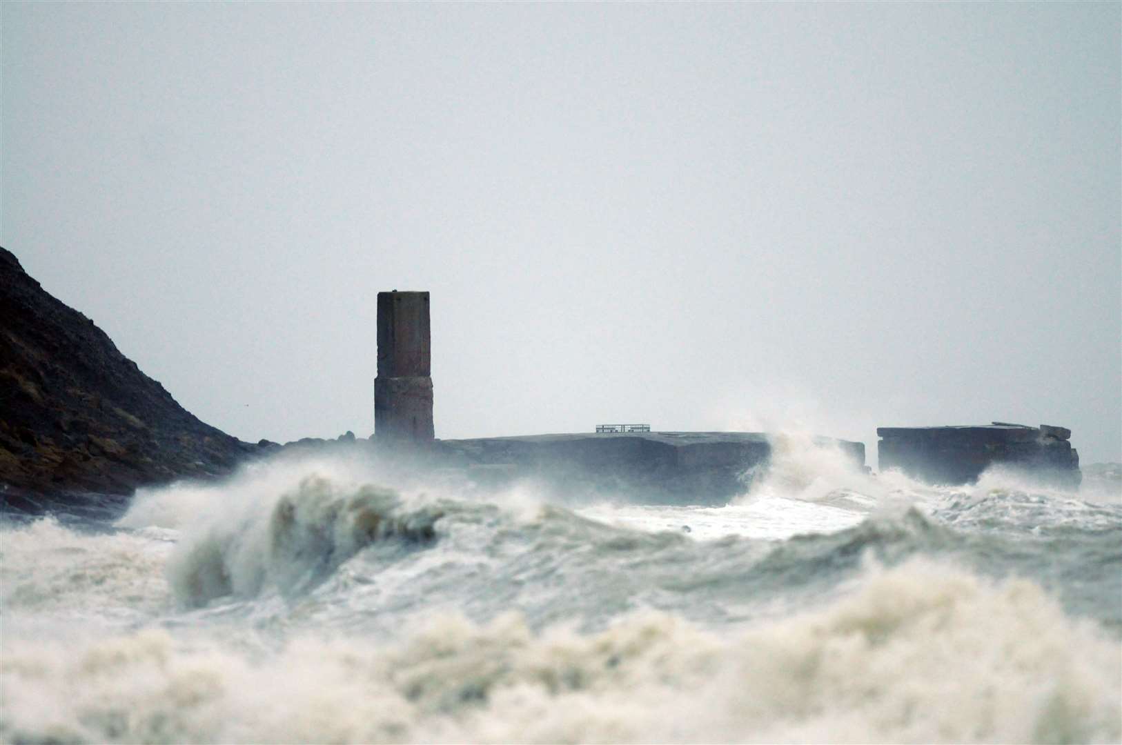
Delays to road, rail, air and ferry transport are likely and damage to trees is possible.
It is also likely that some bus and train services will be affected, with some journeys taking longer.
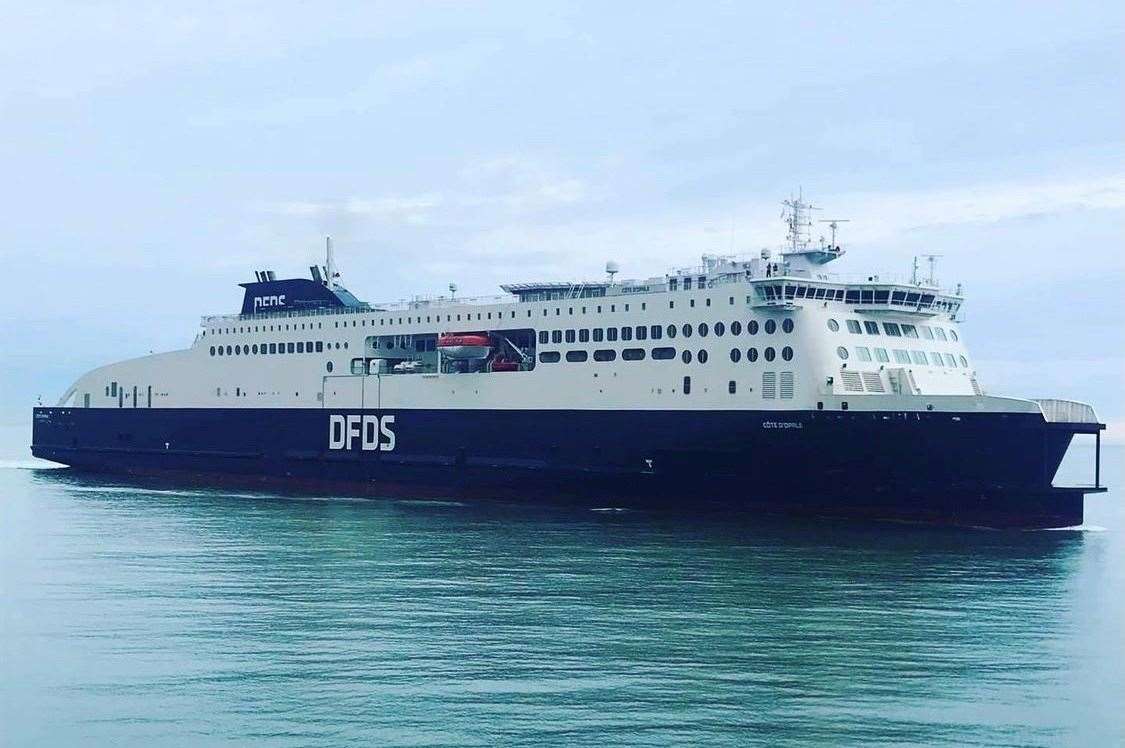
Ferries at Dover have already been impacted.
DFDS confirmed its Calais to Dover service at 11.20am has been cancelled due to the weather.
A spokesman explained that customers will be transferred to the first available departure.

The national weather service flagged the yellow warning yesterday[1], just a few days after Storm Gerrit caused chaos.
Scaffolding at a shopping centre in Swanley was torn down because of the strong winds[2].
Fire crews were called to the scene last Wednesday after employees inside heard a “loud bang”.
Elsewhere, customers heading for Leeds Castle festive lights, near Maidstone, were left annoyed after access to the site was cancelled[3] on the day because of safety fears.
Today it is likely there will be very windy conditions across the south east.
In coastal areas, winds are likely to reach 60mph at times, with a lower likelihood of 70mph gusts.


Inland wind speeds of 40 to 50 mph are likely but with a smaller chance of 55 to 60 mph gusts, but the winds will start to ease from this afternoon and evening.
Due to the heavy rain, flood alerts are also in force[4] for several parts of Kent.
This includes the Lower River Medway, between Snodland and Maidstone, the River Beult from Pluckley and Bethersden to Stilebridge, the Upper River Stour, near Ashford, and groundwater flooding across East Kent.
For the latest traffic and travel news listen to kmfm.
For more information about the weather warnings, visit the Met Office website.
References
- ^ flagged the yellow warning yesterday (www.kentonline.co.uk)
- ^ torn down because of the strong winds (www.kentonline.co.uk)
- ^ annoyed after access to the site was cancelled (www.kentonline.co.uk)
- ^ flood alerts are also in force (www.kentonline.co.uk)