Map: When and where storms will hit the UK as Met Office issue …

For free real time breaking news alerts sent straight to your inbox sign up to our breaking news emails
Sign up to our free breaking news emails
Road and rail journeys are set to be disrupted in the run-up to Christmas and homes may be hit by power cuts[1] as high winds[2] batter the north of the UK on Thursday.
The Met Office issued a yellow weather warning, forecasting winds of up to 80mph in northern Scotland[3], up to 70mph on high ground, and 45-55mph elsewhere in Northern Ireland[4], Scotland, north Wales and England north of Birmingham, as well as the top half of East Anglia.
The warning, prompted by an area of low pressure, is for wind from midnight Wednesday to 9pm on Thursday, meaning travel disruption[5] is likely, power cuts are possible, high-sided vehicles could be at risk on exposed roads and coastal routes could be sprayed by high waves.
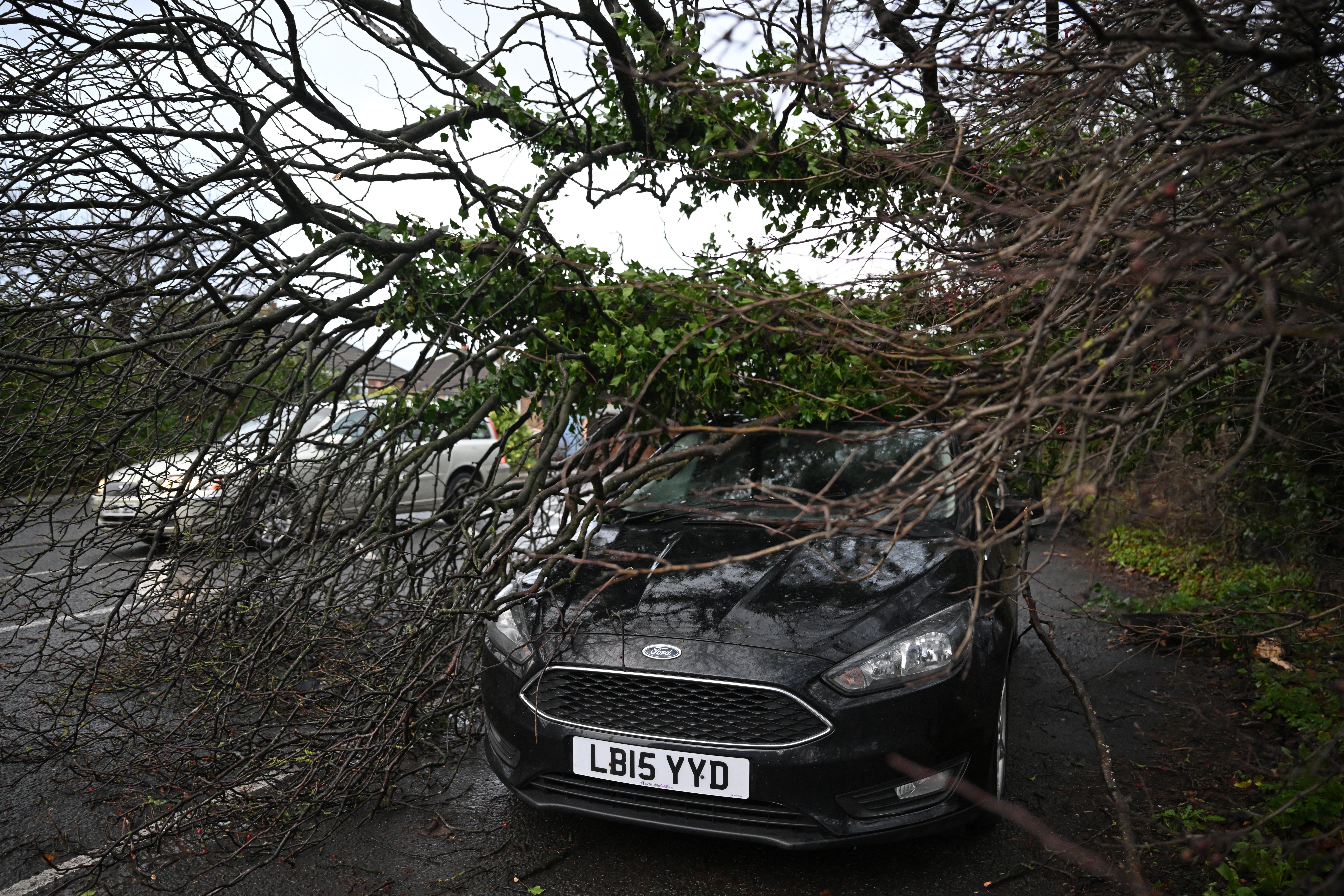
Branches from a tree, brought down by strong winds, covers a parked car in a street in Huddersfield
(AFP via Getty Images)
Roads across the north were closed by falling trees with two cars crushed and one driver injured in Derbyshire.
Derbyshire Police have closed several roads as two cars were crushed by falling trees in just half an hour.
A force spokesman warned road users to “please go carefully” as they closed the A515.
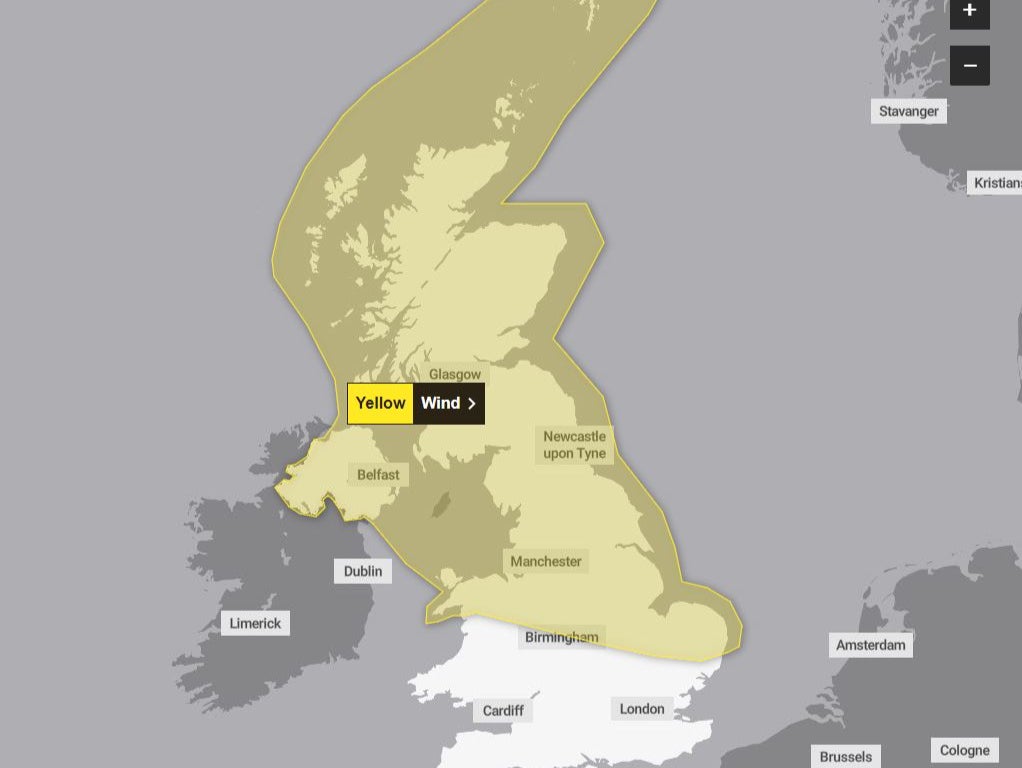
Where the high winds will hit
(Met Office)
In Birkenhead, Spital Road is blocked in both directions due to a fallen tree at Arkwood Close.
P&O Freight Ferries have cancelled services between Cairnryan in Scotland and Larne in Northern Ireland until 4pm on Thursday.
The Shetland Islands Council said all schools would be closed for the day because of the high winds, and extra engineers are being brought in to deal with potential power cuts. Inter-island ferries are expected to be disrupted.
Danish authorities named the storm Pia, but it is not expected to be severe enough in the UK to warrant being officially named.
Network Rail said some rail lines would need to be inspected before passenger services can begin to run in the morning, because fallen trees might block lines.
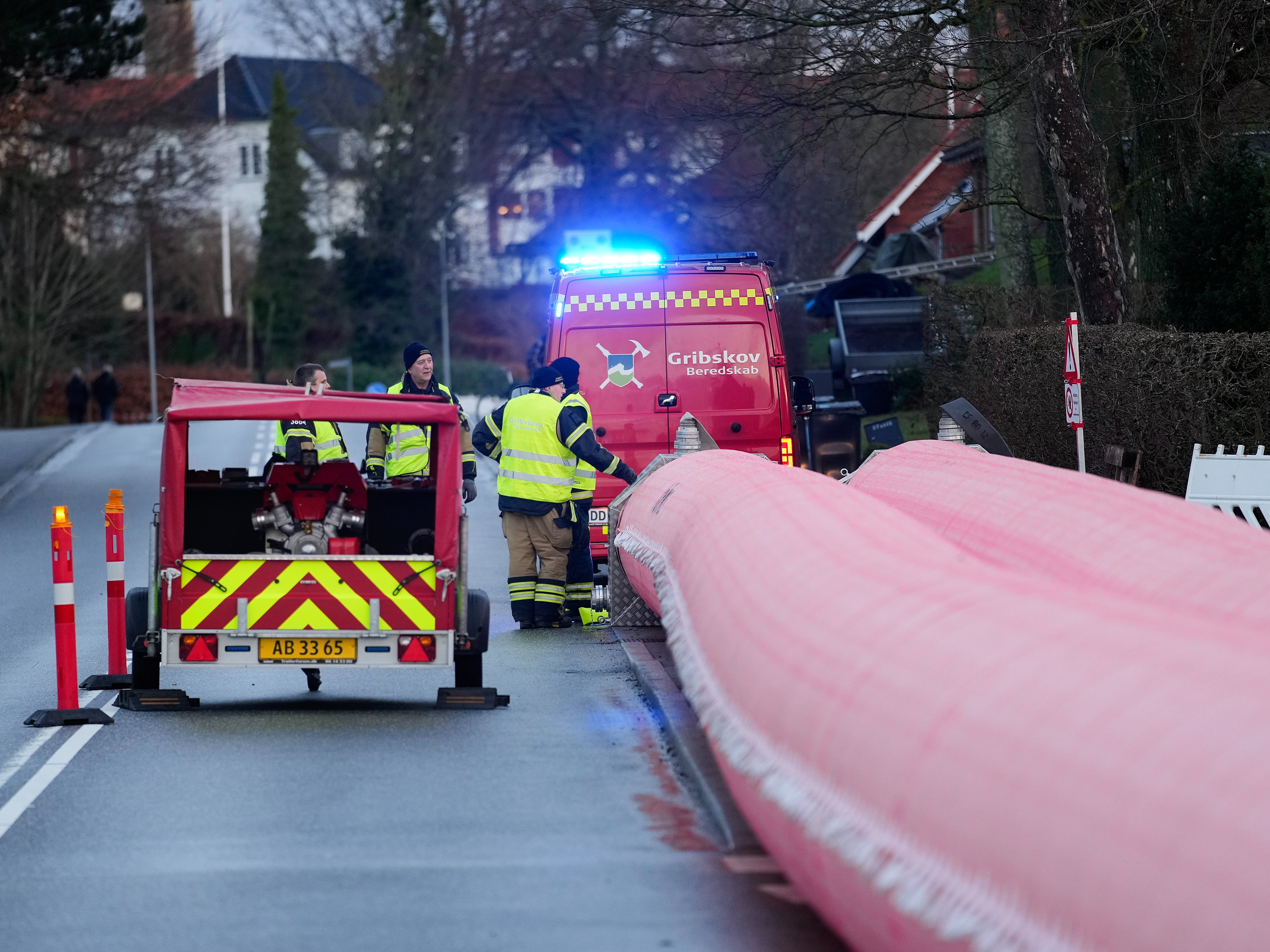
The Danish Civil Defence Agency prepares for Storm Pia
(EPA)
Lines affected include the West Highland line, Kyle of Lochalsh line, Far North line, and the Inverness-Inverurie line.
Speed restrictions will also be in place across the Highland Mainline, as well as some central belt, southwest Scotland and cross-border routes.
Stephen Dixon, a Met Office spokesperson, said: “It is quite a wide wind warning area. Gusts are forecast quite widely to be 45-55mph, possibly 65-70mph to the east of high ground in Scotland.
“The strongest winds are likely to be found in the north and northeast of Scotland including the Northern Isles, with 70-80mph in the morning.”
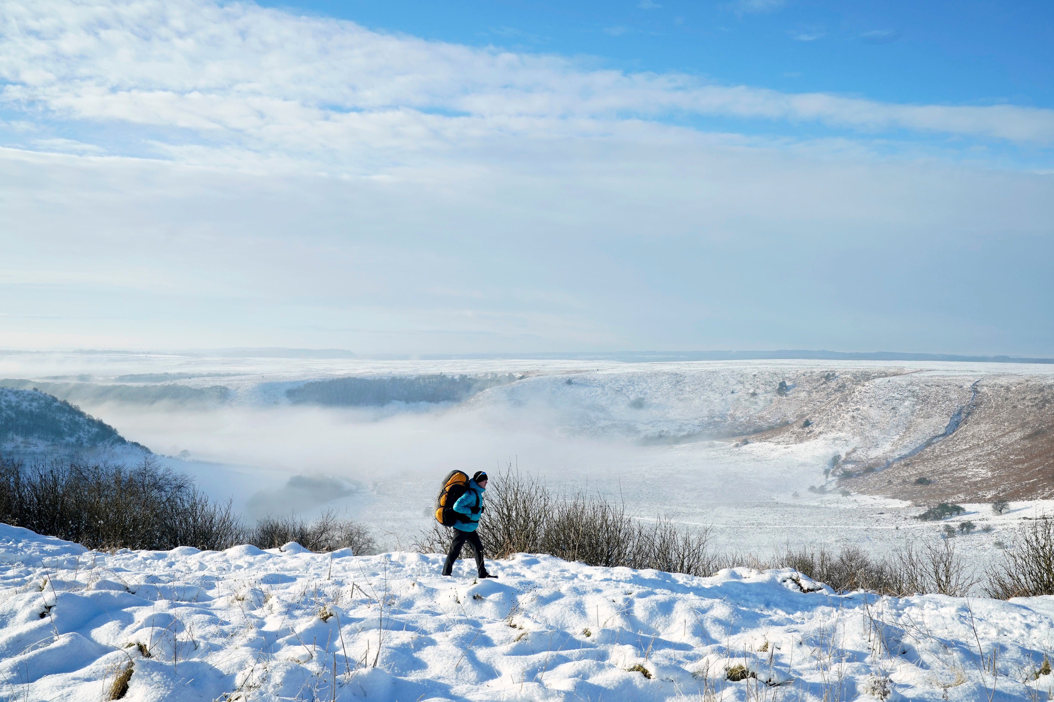
File picture above the Hole of Horcum at the North York Moors
(PA)
The Met Office forecast showers along with the wind, with more rain expected on Friday.
Mr Dixon said snow on Christmas Day was possible – but only in the far north of Scotland.
“It looks like there will be a drier afternoon in the south of the UK for those post-Christmas dinner walks,” he said.
References
- ^ power cuts (www.independent.co.uk)
- ^ winds (www.independent.co.uk)
- ^ Scotland (www.independent.co.uk)
- ^ Northern Ireland (www.independent.co.uk)
- ^ travel disruption (www.independent.co.uk)